Home > Digital Humanities > ENVISIONING_CHANGE > CMAPS
Follow
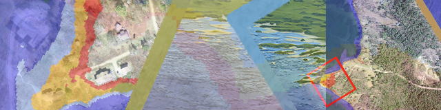
3' Sea Level Rise Polyline
Apical Tidal Pond Extents
Casco Bay Past and Present
Compounded Flood Risk
Advanced Search