

-

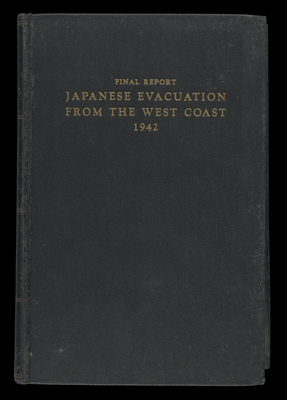
Japanese Evacuation from the West Coast: Final Report
John L. DeWitt
A 1943 U.S. government report detailing the enforced internment of west-coast Japanese-Americans during World War II. The Japanese internment began in February, 1942, two months after the Japanese attack on Pearl Harbor. Executive Order 9066 signed by President Roosevelt forcibly committed innocent Japanese-Americans to isolated internment camps in rural California, Utah and other midwestern states. Conditions were inadequate, overcrowding and unsanitary also lacking education and medical care. In 1945 the Supreme Court declared the internments illegal. A final report submitted by General J.L. DeWitt in April, 1942 utilized maps, photographs and other visuals to justify the internments. The report was later revised for court cases regarding the internments.
-

American History Atlas, Adapted from the Large Wall Maps
Albert Bushnell Hart, David Maydole Matteson, and Herbert E. Bolton
-

The New Map of Africa: 1900-1916
Herbert Adams Gibbons PhD
Fill title:
The New Map of Africa (1900-1916): A History of European Colonial Expansion and Colonial Diplomacy
-

The Werner Introductory Geography
Horace S. Tarbell A.M., LL.D.
1 book: 187 pages, illustrations, maps
-

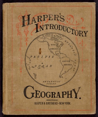
Harper's Introductory Geography with Maps and Illustrations
Harper & Brothers
1 book: 112 pages, illustrations, colored maps
-

The extermination of the American bison
William T. Hornaday
pages 369-548, xxi leaves of plates (1 folded) : ill., maps (1 col. folded) ; 24 cm
The Report of the United States National Museum, 1887
To view the maps from this book please go to the following url:
-

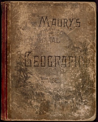
Maury's Manual of Geography: Complete Treatise on Mathematical, Physical, and Political Geography
M. F. Maury LL.D.
1 atlas: illustrated maps, some colored
-

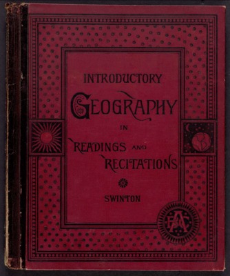
Introductory Geography in Readings and Recitations
William Swinton
1 book: 116 pages, illustrations, maps
-

Statistical Atlas of the United States based on the results of the ninth census 1870 : with contributions from many eminent men of science and several departments of the government comp. under the authority of Congress by Francis A. Walker
Francis A. Walker
Details of this book can be viewed by the following link on the Osher Map Library's website.
-

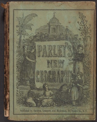
Parley's New Geography
Sheldon, Lamport, & Blakeman
Full title:Peter Parley's Geography for Beginners.
With Eighteen Maps and One Hundred and Fifty Engravings.
160 pages: illustrations, maps
-

Last leaves of American history comprising a separate history of California by Emma Willard.
Emma Willard
Autographed copy by Emma Willard "To Miss A.M. Moore, affectionately presented by Emma Willard". Hartford, December 1, 1858. The book belonged to Ann Maria Moore whose son Ethelbert Allen gave it to his sister Ellen Maria on her birthday, December 4, 1912.
-

Modern School Geography
William C. Woodbridge
Full title: Modern School Geography, on the Plan of Comparison and Classification; with an Atlas, Exhibiting, on a New Plan, the Physical and Political Characteristics of Countries, and the Comparative Size of Countries, Towns, Rivers, and Mountains.
350 pages: illustrations, maps
-

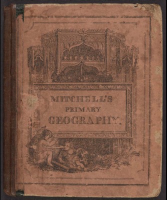
Mitchell's Primary Geography
S. Augustus Mitchell
Full title: Mitchell's Primary Geography: an easy introduction to the study of geography : designed for the instruction of children in schools and families : illustrated by one hundred and twenty engravings and fourteen maps
178 pages: illustrated, maps (some colored)
-

History of Saco and Biddeford, with notices of other early settlements, and of proprietary governments, in Maine, including the provinces of New Somersetshire and Lygonia
George Folsom and A. C. Putnam
Early history of Saco and Biddeford are from 1830.
To view the map in detail please follow the url to the Osher Map Library's website.
-
 (1794 -1845)")
Modern Atlas on a New Plan to accompany the System of Universal Geography
William C. Woodbridge (William Channing) (1794 -1845)
Printing is not supported at the primary Gallery Thumbnail page. Please first navigate to a specific Image before printing.


")


 (1784 -1865)")


