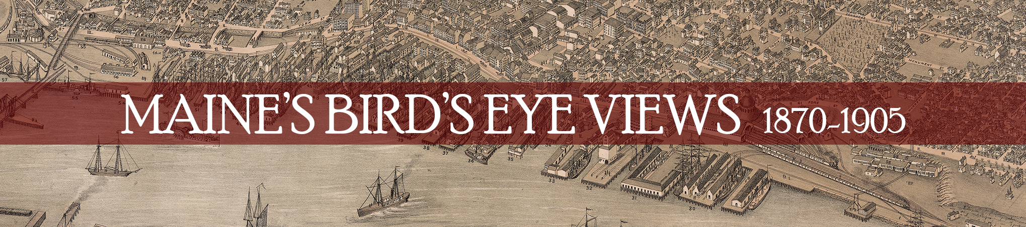
Maine's Bird’s Eye Views, 1870-1905
"Maine's Bird's Eye Views, 1870-1905," is a collaborative research tool and database that combines relevant collection items from the Osher Map Library and Smith Center for Cartographic Education (OML), the Maine Historic Preservation Commission (MHPC), and the Maine Historical Society (MHS), in an effort to create a comprehensive digital resource of all extent Maine Bird's Eye View maps created between 1870 and 1905, spurred on by the Bicentennial of Maine's statehood in 2020. The site consists of an exhibition catalogue with relevant short essays on the history of Maine (1870-1905), the history of Maine Bird's Eye views, and short biographical sketches of Bird's Eye view artists working in Maine at the turn-of-the-century, as well as a fully searchable Map Gallery featuring digitized images of these town and city views spanning the length and breadth of the state, as well as rich contextual data. We hope viewers and users will take great pleasure in visiting towns and cities around the state as they looked well over a century ago. In addition to being beautifully rendered prints, these views provide an unparalleled window into the built environment of Maine in this era, especially changing industries and land usage, as well as the residential, retail, civic, and transportation infrastructures of nearly 100 cities and towns scattered throughout the length and breadth of Maine--coastal and interior, northern and southern, rural and industrial. We hope viewers will take a moment to reflect upon the histories these views make visible, as well as the histories they overlook or obscure.
We are grateful to our partners at the Norman B. Leventhal Map and Education Center at the Boston Public Library and at the Library of Congress for supplying digitized views of Maine Bird's Eye views not found in any of our respective collections. Earle G. Shettleworth, Jr., Maine State Historian, served as the research lead for this project, collecting data on the individual views, as well as providing historic newspaper references, and authoring the majority of the short contextual catalogue essay entries which complement the map gallery. This site was built by USM Libraries Digital Commons and Digital Projects and OML staff members Jessica Hovey and Louis Miller. Maps from OML collections were digitized over the years by David Neikirk and Adinah Barnett, OML's Digital Imaging team; maps from MHPC and MHS collections were digitized by Adinah Barnett for this project. OML's summer 2019 intern, USM History major Aidan Haggerty, completed the initial inventory of Maine Bird's Eye Views. The project was overseen by Libby Bischof, Executive Director of the OML. We are grateful for the support of a 2019-2021 Maine Bicentennial Commission Large Project grant (administered by the Maine Arts Commission) that made this collaboration possible, especially the collective digitization and research efforts. Special thanks to Kirk Mohney of the Maine Historic Preservation Commission and Jamie Rice of the Maine Historical Society for their willingness to engage in this collaborative work.
We hope this project serves as a model for how other states and regions keen on researching and displaying the plethora of bird's eye views created around the country during this era (and now scattered throughout hundreds of public and private collections) can bring the objects together digitally for a wider audience through cooperative efforts.